| News / World News |
Water quality researcher develops public tool for diagnosing health of America's streams
A model for predicting the levels of oxygen in water developed by West Virginia University engineer Omar Abdul-Aziz gives citizen scientists nationwide a tool for taking action on stream pollution.

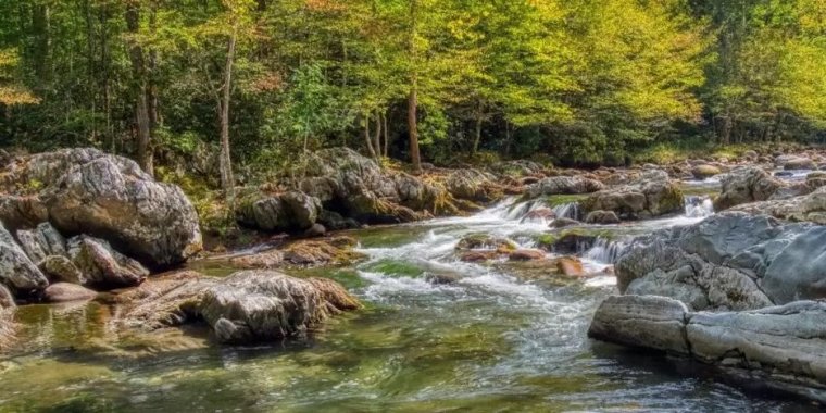
A newly developed tool enables citizen scientists to diagnose the health of America's streams. Photo: Shutterstock/ Jim Schwabel
The model relies only on water temperature and pH, a measure of the degree of acidity or alkalinity, to give an accurate measure of the health of freshwater streams.
Oxygen is fundamental to stream health, and the model is significant because it predicts how much oxygen is in the water of a stream at any location or time, based on a small amount of easily obtainable data.
"People can plug in their stream’s temperature, which is readily available data, and their pH — or if they don't have pH, I also offer a model with just temperature," said Abdul-Aziz. "Then they can see how water quality will change under different scenarios for climate, that is, temperature and changing land use."
Abdul-Aziz's model incorporates water quality information collected from 86 monitoring stations in 32 U.S. states. The large data set encompasses temperate, continental, arid and Mediterranean climates as well as land covers and uses as diverse as forests, grazing lands and parking lots.
The information the model provides can help determine how the U.S. Environmental Protection Agency classifies a stream and whether the EPA will permit a project that affects a particular stream.
Although many factors contribute to the health of a stream, water temperature is the decisive data point for making predictions, ideally supplemented with pH levels.
"The higher the temperature, the less oxygen in the water," Abdul-Aziz explained. "It's the same thing that happens to us on a hot day. When there's less oxygen in the air it can be hard to breathe."
The tool is fully scalable, so it works for any freshwater stream in the U.S. except for some streams in the mountainous West that experience significant geothermal effects, such as those in Yellowstone National Park.
It can be used to understand conditions in the past, get a current understanding of a stream's health, or predict the future using water temperature estimates to evaluate how different climate change scenarios would affect aquatic ecosystems. (U.S. National Science Foundation)
YOU MAY ALSO LIKE


